
How Google Maps helps save you from getting a speeding ticket،
Google uses images from Street View, third-party sources and AI to determine which signs provide information about speed limits
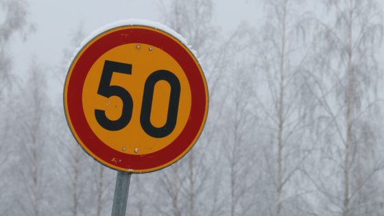
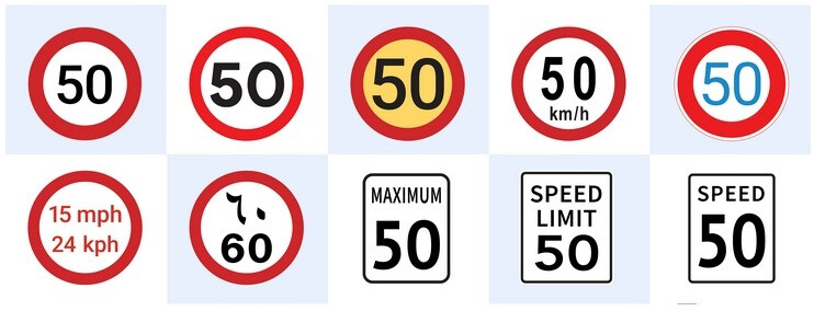
Google uses images from Street View and third-party sources along with its AI capabilities to determine which signs are speed limit signs. Even if a specific sign looks different from speed limit signs in other countries, Google can determine whether it tells drivers what the speed limit is in a certain country. As an example, Google points out that in the United States a speed limit sign is marked as such, while in Germany a speed limit sign may only display numbers indicating the maximum permitted speed.
Google uses imagery and AI to determine which signs indicate the speed limit in an area.
GPS is used to match the geographic location of such a sign with its location in the world, helping Google determine exactly where the sign is located. This helps it know exactly where to change the speed limit along your route.
When a speed limit is changed due to community requests or traffic conditions are temporarily or permanently changed, Google can verify it by looking at traffic patterns. If it notices that drivers are constantly driving in a certain area at a speed below the speed limit, this could be a sign that the speed limit has been reduced. This could happen if a new school was built in the area or if the government deemed the road a high-risk area and wanted drivers to slow down.
Google speed limit data helped the Volvo EX30 meet general EU safety regulations
Automakers need to know speed limit data to help them add certain features to their cars. For assisted driving or fully automated driving features to work, cars must have accurate information about speed limits, just like human drivers. The EU General Safety Regulation (GSR) requires new vehicles registered after July 2024 to be equipped with an Intelligent Speed Assist (ISA) function displaying the legal speed limit at all times. This feature should warn drivers in the event of speeding.
Google uses Street View and third-party imagery and AI to determine which signs are speed limit signs
Google says that to meet the requirements, vehicles must provide accurate speed limits on at least 90% of each trip. While cars will be equipped with cameras and sensors to help them understand speed limit signs, the same issues that prevent human drivers from reading them (the weather, poor placement of a sign, and physical obstacles covering the sign) can affect the cameras and sensors to obtain the correct speed limit information.
According to the report, Google notes that the Volvo EX30’s ISA feature achieved EU GSR certification using speed limit data from Google Maps. As the company so proudly states: “This means the EX30 can reliably display the legal speed limit, even when there are no clear signs on the road. »